

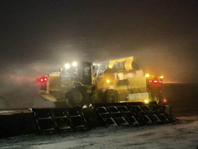
After getting a brief break from brutal weather conditions last week, Kentucky Transportation Cabinet (KYTC) District 1 crews are back on the road responding to a clipper system that is expected to drop up to an inch of snow across parts of the region.
Our Ohio River border counties are under a winter weather advisory.
The KYTC District 1 Snow & Ice Team had supervisors on the road after midnight monitoring travel conditions and snowfall accumulation. At 5 a.m., about half of the district’s 12 counties had trucks out spot-treating bridges overpasses and other potential trouble spots.
Due to the salt spread during the extreme cold Thursday through Saturday, most area highways still have a coating of salt that is available to act as pre-treatment for this approaching event. That has helped to minimize the development of slick spots. The snow has also helped to keep early morning traffic to a minimum.
Due to the low temperatures, this snow should be ideal for plowing once there is sufficient accumulation. Travelers from the Paducah area should take note that accumulations are expected to be higher as you head north into Illinois.
The National Weather Service indicates the snow should be diminishing by about 8 a.m., CST, with ongoing flurries possible through the day. Temperatures are expected to rise to above the freezing mark before another round of snowshowers roll through this afternoon.
Weather graphics for this event can be found at https://www.weather.gov/media/
Motorists are advised to continue to slow down and use appropriate caution.
Please see the links below to access information and updates for Kentucky’s 12 westernmost counties: